 Day 1: John O’Groats to Altnaharra
Distance: 75.3 miles
Elevation: 3878 feet
Route map
 Day 2: Altnaharra to Inverness
Distance: 75.5 miles
Elevation: 3404 feet
Route map
 Day 3: Inverness to Fort William
Distance: 64.8 miles
Elevation: 3576 feet
Route map
 Day 4: Fort William to Oban
Distance: 48.6 miles
Elevation: 2600 feet
Route map
 Day 5: Oban to Lochranza
Distance: 68.0 miles
Elevation: 4585 feet
Route map
 Day 6: Lochranza to St John’s Town of Dalry
Distance: 96.2 miles
Elevation: 4324 feet
Route map
 Day 7: St John’s Town of Dalry to Hesket Newmarket
Distance: 80.1 miles
Elevation: 3207 feet
Route map
 Day 8: Hesket Newmarket to Milnthorpe
Distance: 56.8 miles
Elevation: 3812 feet
Route map
 Day 9: Milnthorpe to Leigh
Distance: 74.0 miles
Elevation: 2866 feet
Route map
 Day 10: Leigh to Pontesbury
Distance: 81.7 miles
Elevation: 2890 feet
Route map
 Day 11: Pontesbury to Monmouth
Distance: 75.5 miles
Elevation: 3556 feet
Route map
 Day 12: Monmouth to Bristol
Distance: 37.0 miles
Elevation: 2975 feet
Route map
 Day 13: Bristol to Sampford Peverell
Distance: 79.1 miles
Elevation: 2858 feet
Route map
 Day 14: Sampford Peverell to Lifton
Distance: 64.8 miles
Elevation: 3576 feet
Route map
 Day 15: Lifton to Perranporth
Distance: 64.8 miles
Elevation: 3576 feet
Route map
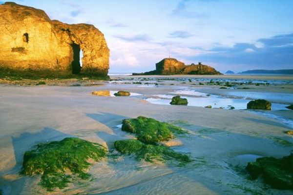
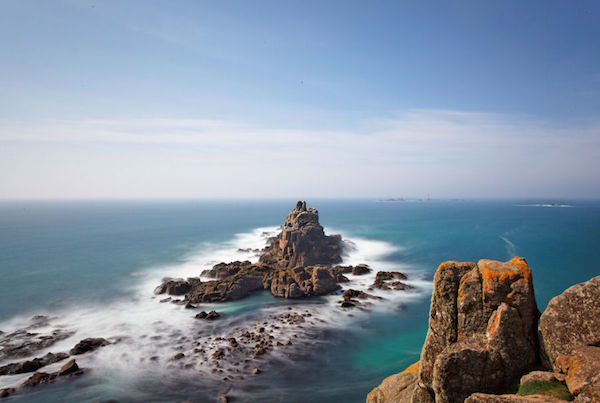
 Day 16: Perranporth to Land’s End
Distance: 64.8 miles
Elevation: 3576 feet
Route map

Hey guys, great effort, really proud of what your doing and the cause, just managed to get my sponsorship in before you finish. Gem
Thanks Gem! Almost there now!